Dispersed camping in Massachusetts
Browse HTML spot links for dispersed camping in Massachusetts, then use the full map when you want to compare more public-land options, road access notes, and current restrictions.
Use this page as a cleaner state-level crawl and browse entry than a map-only route.
- Open real spot pages for rules, access notes, and nearby alternatives.
- Compare Massachusetts public-land camping options before moving into the full map.
- Keep conservative expectations around fees, closures, and overnight rules.
Road conditions are user-reported and may change quickly.
GoSpotCamp combines official sources and user-reported conditions. Review the methodology before relying on a route or overnight plan.
These Massachusetts spot pages already provide real public details, internal links, and current caution language.
Campground · Federal agency · Massachusetts
Overview In 1958 the U.S. Army Corps of Engineers built Buffumville Dam in Charlton, Massachusetts to provide flood risk management for downstream communities. Flood waters due to large amounts of rainfall or spring snow melts are stored on 480 acres of land. The lake is also managed for recreation and environ
Campground · Unknown manager · Massachusetts
Overview With abundant wildlife, lush scenery and waterfront views, Indian Hollow Group Campground, located at the Knightville Dam and Reservoir, offers groups and clubs a recreational oasis. Recreation The rivers and streams at Knightville offer excellent trout fishing, and the river is stocked with t
Campground · Federal agency · Massachusetts
Overview The U.S. Army Corps of Engineers invites you to come relax at Tully Lake. There are a variety of outdoor recreation activities for you and you family. Although the dam was built primarily to reduce flood damages on the Millers and Connecticut Rivers, the 1,300-acre reservoir area provides a place for
Campground · Federal agency · Massachusetts
Overview On a quiet back road and across an old fieldstone bridge lies West Hill Park, where the West River widens to form a large, natural pool. The park and its many services and activities, including a swimming beach, accessible playground, nature trails and calm, clean water, attract visitors of
Campground · Unknown manager · Massachusetts
Overview Westville Lake is situated on the Quinebaug River in the towns of Southbridge and Sturbridge, Massachusetts. Westville offers a variety of hiking opportunities, group picnic shelters, a picnic cove, a large recreation field, canoe/kayak launches, and much more. Recreation Westville
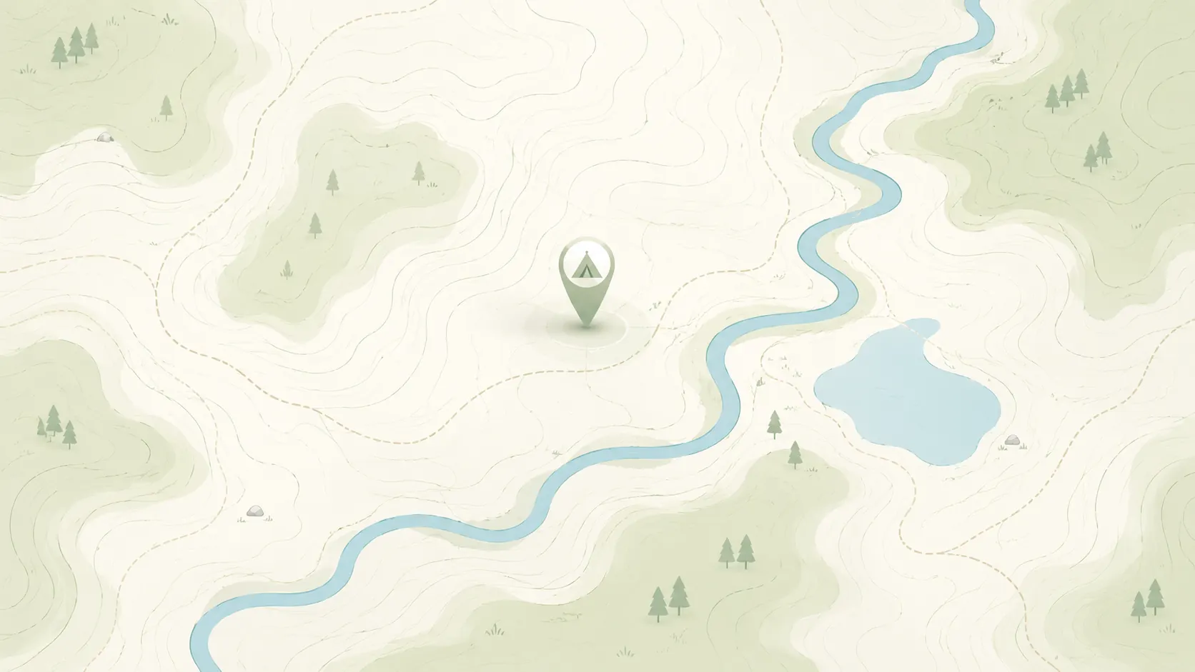
Continue with the live map when you want to pan, zoom, and compare more dispersed camping options.
Keep comparing topic-first camping entry pages when you want a different starting filter than dispersed-only.
Start with nearby no-fee camping options on public land.
Focus on no-fee campgrounds with practical access details.
Compare free campsite pages with access notes and source context.
Narrow to RV-friendly overnight options and rig-fit notes.
Open public-land dispersed camping results around your area.
Browse nearby BLM camping with rules and road context.
Look for free RV camping and public-land overnight options.
Find no-hookup camping options for vans and RVs.
Browse dispersed camping and Forest Service rules.
Start with nearby Forest Service camping results.
Focus on free camping options that work better for tents.
Use the public-land checklist before choosing a campsite.
Understand rules, maps, and public-land camping basics.
Check fees, permits, fires, closures, and posted restrictions.
Use these nearby state hubs when you are comparing routes, seasons, or public-land options across the region.