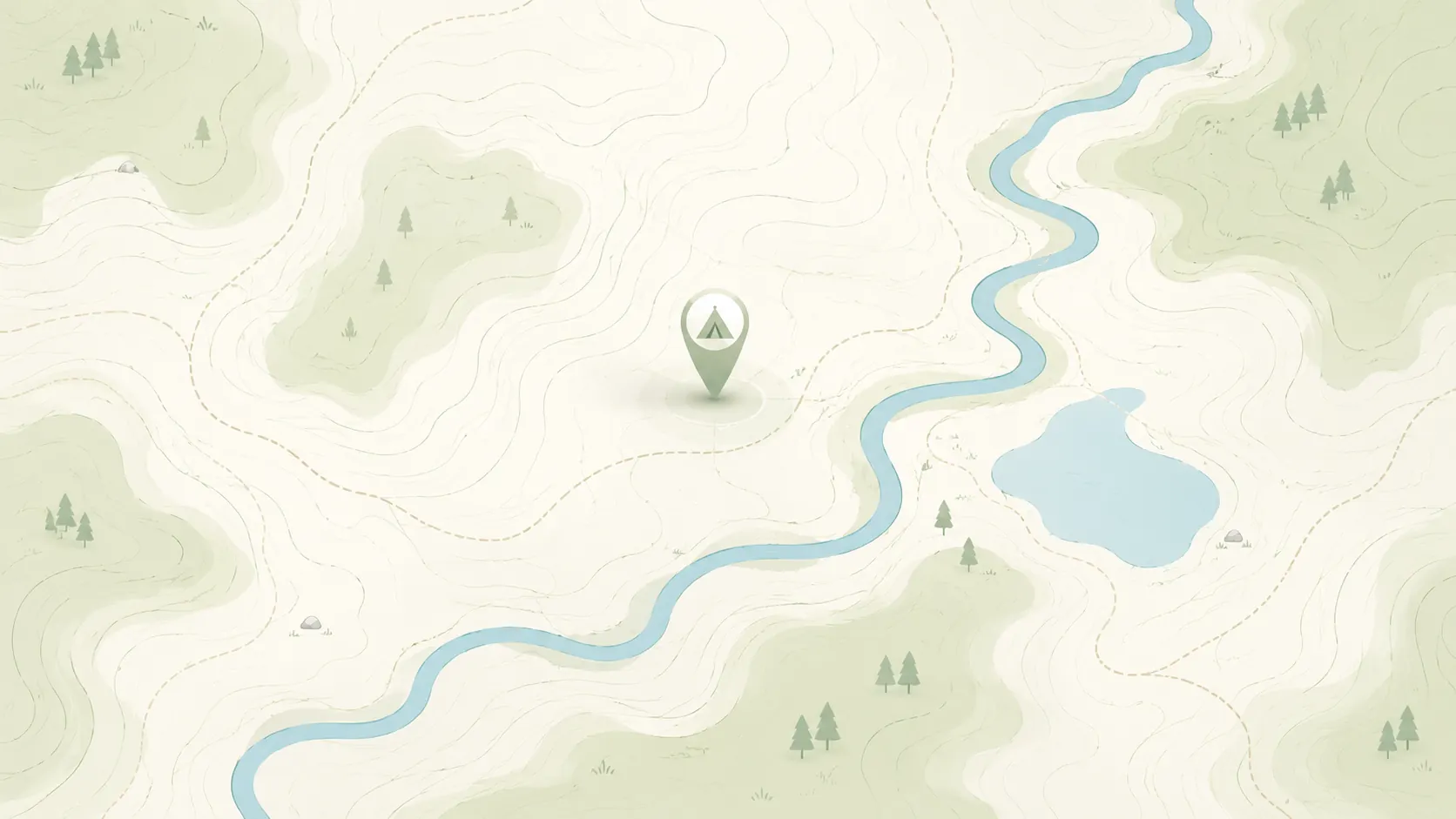
Dispersed camping in Wyoming
Browse HTML spot links for dispersed camping in Wyoming, then use the full map when you want to compare more public-land options, road access notes, and current restrictions.
Use this page as a cleaner state-level crawl and browse entry than a map-only route.
- Open real spot pages for rules, access notes, and nearby alternatives.
- Compare Wyoming public-land camping options before moving into the full map.
- Keep conservative expectations around fees, closures, and overnight rules.
Road conditions are user-reported and may change quickly.
GoSpotCamp combines official sources and user-reported conditions. Review the methodology before relying on a route or overnight plan.
These Wyoming spot pages already provide real public details, internal links, and current caution language.
Dispersed camping area · Federal agency · Wyoming
Alsaka Basin is a beautiful high elevation basin that holds a few lakes with amazing views. It's a favorite for hikers that want to do the "up and over" into Grand Teton National Park.
Backcountry campsite · Federal agency · Wyoming
Overview Allred Flats Group Picnic Site is located below Salt River Pass in the lush forests of western Wyoming. Visitors enjoy exploring local trails on foot, horseback or by off-road vehicle, where allowed. Recreation Numerous hiking, mountain biking and horseback riding trails are in the area, rangi
Campground · Federal agency · Wyoming
Alpine North Loop Campground is located in beautiful Star Valley, Wyoming at an elevation of 5,640 feet. The cozy town of Alpine is just 2 miles west. Visitors enjoy boating and fishing on Palisades Reservoir, and day-tripping to Jackson and Grand Teton National Park. Natural Features: The cam
Campground · Federal agency · Wyoming
Atherton Creek Campground is located on Lower Slide Lake. This is a beautiful and quiet camping location where you can quickly and easily get away from the hustle and bustle of Grand Teton National Park and Jackson, but still access those places in less than 30 minutes if you wish. The road access is paved up to the
Campground · Unknown manager · Wyoming
The Big Atlantic Gulch Campground is in the South Pass area. It features 10 campsites, fire rings, garbage collection, water (weather permitting), picnic tables, and vault toilets. The site is ADA Accessible. There are seasonal closures and occasionally there is a host on site. Be aware, this is bear country!
Campground · Unknown manager · Wyoming
This campground is equipped with picnic tables. Recreation activities within 5 miles from the campground include hiking, fishing, backpacking, and mountain biking.
Campground · Federal agency · Wyoming
Beaver Creek Campground has 8 campsites (1 accessible), 1 toilet, and is remote and quiet. The campground is on the Wyoming/South Dakota border NW of Hill City, SD (directions below). Beaver Creek runs nearby.
Dispersed camping area · Federal agency · Wyoming
The Bennett Mountains WSA encompasses 6,003 acres of BLM-administered land with no inholdings or split estate. The study area contains three basic types of topography: the mountain plateau/ridges, the steep, rocky ledges and the many tributary draws. Vegetation is primarily grasses, sagebrush and other shrubs, with poc
Campground · Unknown manager · Wyoming
This is a fee site with 11 campsites, vault toilet, boat ramp, day use parking, and bank fishing accessible to persons with disabilities. The hand pump water well is not operable at this time. Fees at Bennett Peak are $10 per night per campsite. Each campsite has a picnic table, fire ring/grill, sandy tent pad, park
Campground · Federal agency · Wyoming
This campground hosts 16 sites next to the North Fork of the Shoshone River, and provides wonderful wildlife viewing and fishing. 16-day stay limit This facility is not accessible to persons with mobility impairments. No cell service Notes: Maximum spur 32 feet.
Campground · Federal agency · Wyoming
The Big Piney Ranger District hosts a wide variety of cultural and natural history, recreational opportunities, timber, range, mineral reserves, and wildlife. It contains 449,000 acres of snow-capped mountain peaks, lush vegetation and clear mountain lakes and streams. The district maintains 300 miles of
Campground · Federal agency · Wyoming
This campground is located at the north end of the Big Sandy Opening, along Big Sandy Creek approximately 60 miles southeast of Pinedale, Wyoming. It is a smaller campground, with 4 sites in the main loop and additional site near the Stock Trailhead for those visitors with horses. The campground is located next to B
Campground · Federal agency · Wyoming
The Black Fox Campground has nine camp sites. Restroom facilities are available. The campground is in a remote location within a spruce forest on South Fork Rapid Creek. The Black Fox Botanical Area is adjacent to the campground. A snowmobile trail with a warming hut is available. The campground is popular on weeken
Dispersed camping area · Federal agency · Wyoming
The Blackrock Ranger District is comprised mostly of the Teton Wilderness. It borders Grand Teton and Yellowstone National Parks. It is home to the headwaters of the Yellowstone River and the Continental Divide. Please note: The Bridger-Teton National Forest has seen a significant increase in campers during th
Campground · Unknown manager · Wyoming
The Blucher Creek Campground is 74 miles from Rock Springs and 70 miles from Lander. It's an ADA accessible site and features a safety structure, accessible picnic tables, fire rings and an accessible vault toilet. Stay limit is 14 days. There are no fees associated with this site.
Dispersed camping area · Federal agency · Wyoming
The Bobcat Draw Badlands Wilderness Study Area (WSA) encompasses 17,150 acres of BLM-administered land and 1,390 acres of state land. The WSA offers special features and scenic beauty which are outstanding. Terrain in the unit is highly unique and variable in landform and color. Located in the Willwood geolog
Campground · Unknown manager · Wyoming
The Bobcat-Houlihan Campground is at the trailhead of the Bobcat-Houlihan Trail. It features interpretive kiosks, horse trailer parking, horse hitching rails, food storage boxes and toilet facilities.
Dispersed camping area · Unknown manager · Wyoming
Bolton Creek is a popular fishing, picnicking and primitive dispersed camping site. It has an access road and small parking area. There are no developed facilities here other than roads.
Campground · Federal agency · Wyoming
Overview Bottle Creek Group Picnic Site offers a large area for groups of up to 75 people to gather and enjoy the outdoors allow for up to 10 cars any more are subject to a $5 day use fee. The facility lies at an elevation of 8,800 feet within the Bottle Creek Campground in the Medici
Campground · Federal agency · Wyoming
Boulder Lake Campground is location 25 miles southeast of Pinedale, Wyoming. This campground sits on the east end of Boulder Lake, near Boulder Creek. There are 15 sites available, each are equipped with a picnic table, fire ring and a lantern holder. Recreational activities include backpacking, day hiking, fishing
Dispersed camping area · Federal agency · Wyoming
The Boulder Lake Recreation Area at 7,300 feet encompasses approximately 3 miles of shoreline at Boulder Lake and the surrounding area. Established site are located at the west end of the lake on the north and south sides of the dam. The North Boulder Lake campground is located on the north side of Boulder Lake. The de
Campground · Federal agency · Wyoming
Boulder Park Campground is located along U.S. Highway 16, the Cloud Peak Skyway. The area is along Tensleep Creek, which is a great trout fishing stream.
Campground · Federal agency · Wyoming
Bow River Campground hosts 13 campsites and is located on the upper Medicine Bow River. The campground is located next to Bow River in a heavily wooded forest of Lodgepole and Spruce pines and some young Aspen. The sites are well separated with heavy understory and middle-story which provides privacy. The campg
Campground · Federal agency · Wyoming
The campground is located on Brooklyn Lake. Every site has a view of the lake ranging from great to spectacular. The lake is a nice canoeing lake in the shadow of the snow cap
Continue with the live map when you want to pan, zoom, and compare more dispersed camping options.
Keep comparing topic-first camping entry pages when you want a different starting filter than dispersed-only.
Start with nearby no-fee camping options on public land.
Focus on no-fee campgrounds with practical access details.
Compare free campsite pages with access notes and source context.
Narrow to RV-friendly overnight options and rig-fit notes.
Open public-land dispersed camping results around your area.
Browse nearby BLM camping with rules and road context.
Look for free RV camping and public-land overnight options.
Find no-hookup camping options for vans and RVs.
Browse dispersed camping and Forest Service rules.
Start with nearby Forest Service camping results.
Focus on free camping options that work better for tents.
Use the public-land checklist before choosing a campsite.
Understand rules, maps, and public-land camping basics.
Check fees, permits, fires, closures, and posted restrictions.
Use these nearby state hubs when you are comparing routes, seasons, or public-land options across the region.