Dispersed camping in Nevada
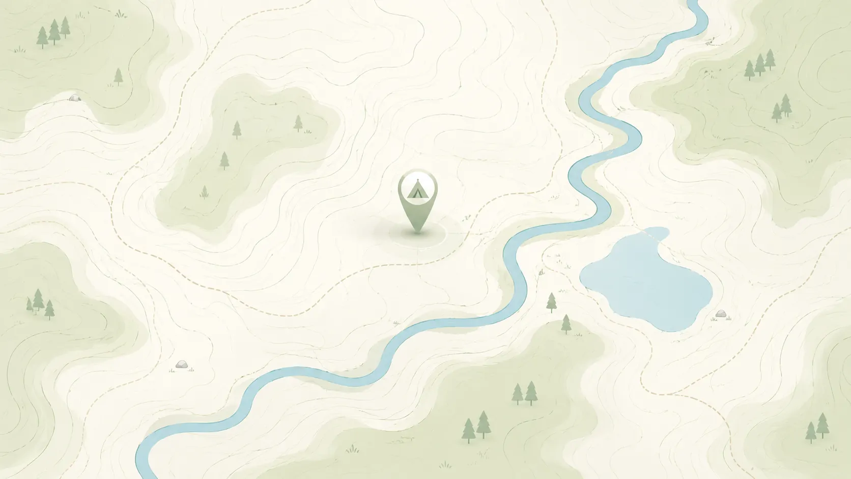
Browse HTML spot links for dispersed camping in Nevada, then use the full map when you want to compare more public-land options, road access notes, and current restrictions.
Use this page as a cleaner state-level crawl and browse entry than a map-only route.
- Open real spot pages for rules, access notes, and nearby alternatives.
- Compare Nevada public-land camping options before moving into the full map.
- Keep conservative expectations around fees, closures, and overnight rules.
Road conditions are user-reported and may change quickly.
GoSpotCamp combines official sources and user-reported conditions. Review the methodology before relying on a route or overnight plan.
These Nevada spot pages already provide real public details, internal links, and current caution language.
Campground · Federal agency · Nevada
Overview Silvertip Campground is less than a mile west of Lake Alpine, with a trail leading from the campground down to the lake. Campground may open earlier and close later on a first come first serve basis as weather (snow level) allows. This information will be posted on this page as soon as it be
Campground · Federal agency · Nevada
Overview Silver Valley Campground is located in the Calveras Ranger District, at the east end of Lake Alpine Recreation Area in a timbered setting near several trailheads. Campground may open earlier and close later on a first come first serve basis as weather (snow level) allows. This information wi
Campground · Unknown manager · Nevada
Overview The Spring Mountains Visitor Gateway (SMVG) complex includes a visitor center, an education and research building, two amphitheaters, two picnic sites and over 40 miles of adjoining trails. The complex houses the Silent Heroes of the Cold War National Memorial - the only national monument dedicated to
Dispersed camping area · Federal agency · Nevada
Know Before You Go This area is rugged and remote. Be prepared for backcountry travel. There is no cell phone signal and few, if any, other people nearby. Black Rock country is a land of extremes—the weather can be hot and sunny one day and cold and snowy the next. Be prepared fo
Campground · Federal agency · Nevada
Overview Cathedral Rock Group Picnic Area is located at the top of beautiful Kyle Canyon in the Spring Mountains National Recreation Area, just 30 miles from Las Vegas. Visitors enjoy hiking, horseback riding and scenic driving in this forested desert oasis. Recreation No trails can be accessed through
Camping spot · Unknown manager · Nevada
Clayton Valley Sand Dunes was designated as a SRMA in the Tonopah RMP and ROD. The site is closed to competitive recreational events. OHV use is limited to existing roads and trails. OHV use on un-vegetated sand areas is allowed.
Dispersed camping area · Federal agency · Nevada
One of the first designated backcountry byways, the Gold Butte Back Country Byway travels through some of the most remote landscapes of southern Nevada. The Byway begins 90 miles northeast of Las Vegas and five miles south of Mesquite/Bunkerville on Interstate 15, exit 112. The 62-mile scenic loop is rugged a
Dispersed camping area · Federal agency · Nevada
HIGH ROCK CANYON IS CLOSED FOR THE SEASON - (closed until May 7, 2022) Overview High Rock Canyon is designated as an Area of Critical Environmental Concern (ACEC) due to the exceptional scenic values, important wildlife habitat including bighorn sheep habitat and high-density raptor nestin
Campground · Federal agency · Nevada
Overview Due to the extensive damage sustained in the 2021 Tamarack Fire, Indian Creek Campground is CLOSED at this time and will remain closed until the area can be made safe for public access and facilities can be rebuilt.
Campground · Federal agency · Nevada
Overview Kyle Canyon Picnic Area is set in the beautiful Spring Mountains National Recreation Area, just 23 miles from Las Vegas. Visitors enjoy hiking, horseback riding and scenic driving in this forested desert oasis. Recreation The 1.6-mile Fletcher Canyon Trail begins nearby. The 1.5 mile long A
Dispersed camping area · Federal agency · Nevada
The Lahontan Cutthroat Tout Natural Area Instant Study Area (12,316 acres) straddles the north end of the Black Rock Range. It is an outstandingly beautiful area with its running water, large stands of quaking aspen, willow and mahogany trees, lush meadows, colorful rock formations and good populations of wildlife. The
Camping spot · Unknown manager · Nevada
The east shore of Lake Tahoe is located on the Nevada side along the west slope of the Carson Range. Access to this mostly undeveloped side of the lake is via Highways 50 and 28. Recreational opportunities found on the east shore include water activities, camping, hiking, horseback riding, downhill skiing/snowboardi
Backcountry campsite · Federal agency · Nevada
Overview: Lovelock Cave Historic Site is at the end of a designated backcountry byway along unpaved roads. The site features a cave with historic significance, an information kiosk, a self-guided nature trail, a covered picnic table, and a vault toilet. At the cave entrance, visitors will find a wooden deck
Campground · Federal agency · Nevada
Camping spot · Unknown manager · Nevada
This site is an Army Corps of Engineers flood control dam for the railroad. The site contains two shade structures, picnic tables, grills, fire pits, garbage cans, and vault toilets.
Campground · Federal agency · Nevada
Overview McWilliams Campground is located in the Spring Mountains National Recreation Area, just 50 miles from downtown Las Vegas. Visitors enjoy hiking, mountain biking and scenic driving in this forested desert oasis. Recreation Hiking and mountain biking are popular activities on the 6.2-mile Bri
Dispersed camping area · Federal agency · Nevada
Overview: The Moon Rocks OHV Area is on the west side of Winnemucca Ranch Road. The recreation area features open OHV riding and multiple camping and staging areas. Due to its high-usage, open access is only possible because the area is maintained, respected, and well-kept by local OHV enthusiasts.
Dispersed camping area · Federal agency · Nevada
The Pine Forest Range, in northern Nevada's arid Great Basin, is a rare and exceptional area of abundant streams and clear, cold subalpine lakes. Nestled in a cirque and fed by snowmelt and springs, these lakes are not only visually stunning but also possess an excellent trout fishery. The lakes are surrounded by a rar
RV site · Unknown manager · Nevada
Overview Red Rock Canyon's standard, RV, and group campsites are located in the stunning Red Rock Canyon National Conservation Area, an approximate 20 mile drive from "The Las Vegas Strip." Visitors enjoy hiking, rock climbing, bike riding and scenic driving in this unique Mojave Desert environment.
Dispersed camping area · Federal agency · Nevada
The Shoshone OHV Trail System has approximately 50 miles of maintained OHV routes for vehicles less than 50 inches wide. The trail system is open all year, however snow and mud inhibit access during the winter and wet seasons. For optimal conditions and to minimize disturbance of wildlife, use is recommended from July
Dispersed camping area · Federal agency · Nevada
Located northwest of South Fork State Recreation Area, South Fork Canyon offers access to the South Fork River. Float the river in tubes, kayaks or canoes. Along the river you will have the opportunity to see part of the California National Historic Trail (Hastings Cutoff), wildlife, deep limestone canyon walls, and cu
Dispersed camping area · Federal agency · Nevada
The South Fork Owyhee River flows north through the Owyhee desert, joining the river's East Fork in southwestern Idaho. River-running in rafts and kayaks through the steep-walled canyon is the most popular recreational activity from late March through early June.
Dispersed camping area · Federal agency · Nevada
Steven's Camp Recreation Area has a desert cabin available first-come, first-serve for visitors, which is located in a unique setting-desert rims and vistas with large meadows. It has wood heat and a propane range for cooking. There are hook-ups for generators and propane tanks to run electric lights and the cooking
Campground · Federal agency · Nevada
Overview Timber Creek Campground is located in Duck Creek Basin, high on the Schell Creek Range, in eastern Nevada. It sits at an elevation of 8,500 feet, approximately 25 miles from the small city of Ely. Visitors to the area enjoy hiking, horseback riding, fishing and off-road vehicle riding, among other act
Continue with the live map when you want to pan, zoom, and compare more dispersed camping options.
Keep comparing topic-first camping entry pages when you want a different starting filter than dispersed-only.
Start with nearby no-fee camping options on public land.
Focus on no-fee campgrounds with practical access details.
Compare free campsite pages with access notes and source context.
Narrow to RV-friendly overnight options and rig-fit notes.
Open public-land dispersed camping results around your area.
Browse nearby BLM camping with rules and road context.
Look for free RV camping and public-land overnight options.
Find no-hookup camping options for vans and RVs.
Browse dispersed camping and Forest Service rules.
Start with nearby Forest Service camping results.
Focus on free camping options that work better for tents.
Use the public-land checklist before choosing a campsite.
Understand rules, maps, and public-land camping basics.
Check fees, permits, fires, closures, and posted restrictions.
Use these nearby state hubs when you are comparing routes, seasons, or public-land options across the region.