Dispersed camping in Ohio
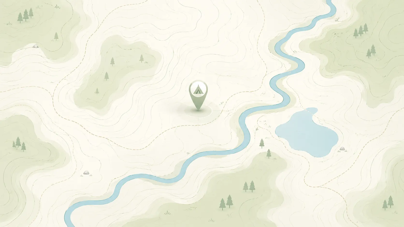
Browse HTML spot links for dispersed camping in Ohio, then use the full map when you want to compare more public-land options, road access notes, and current restrictions.
Use this page as a cleaner state-level crawl and browse entry than a map-only route.
- Open real spot pages for rules, access notes, and nearby alternatives.
- Compare Ohio public-land camping options before moving into the full map.
- Keep conservative expectations around fees, closures, and overnight rules.
Road conditions are user-reported and may change quickly.
GoSpotCamp combines official sources and user-reported conditions. Review the methodology before relying on a route or overnight plan.
These Ohio spot pages already provide real public details, internal links, and current caution language.
Campground · Unknown manager · Ohio
Overview Alum Creek Lake is located in Delaware County, Ohio, just minutes north of Columbus. The lake provides an ideal location for boating, fishing, camping, hiking and hunting. A special events permit must be obtained if the shelter is used for commercial purposes, large groups that need more than 1 she
Campground · Unknown manager · Ohio
Overview Caesar Creek Lake is located in southwest Ohio, centered between Dayton, Cincinnati and Columbus. Visitors flock to Caesar Creek Lake for its great fishing, boating, Visitor Center and trail opportunities. Recreation Caesar Creek Lake offers excellent boating, water skiing and canoeing. Angler
Campground · Federal agency · Ohio
Overview C.J. Brown Reservoir is located in west-central Ohio, two miles northeast of Springfield; thirty-five miles northeast of Dayton, and forty-five miles west of Columbus. Recreation There are many recreational opportunities to enjoy at the lake including fishing, hiking, biking, wildlife watching
Campground · Federal agency · Ohio
Overview Cuyahoga Valley National Park is a destination for millions of visitors each year who enjoy hiking, riding the Cuyahoga Valley Scenic Railroad , biking and picnicking. Whether you n
Campground · Federal agency · Ohio
Overview Deer Creek Lake Day Use Area is located just below the dam at Deer Creek Lake, 35 miles southwest of Columbus, Ohio. The lake provides an ideal location for boating, fishing, camping, hiking and hunting. Recreation The lake is a prime location for boating and swimming. Boat ramps and docks are
Campground · Federal agency · Ohio
Overview Both picnic shelters at Dam Site Recreation Area make for a pleasant getaway at Delaware Lake. Shady Ridge Shelter is nestled under elms atop a grassy ridge, providing privacy from surrounding areas, while Elm Grove Shelter is cradled between rows of trees just 50 ft. from the parking area.
Campground · Unknown manager · Ohio
Overview Dillon Lake is approximately six miles northwest of Zanesville, Ohio, and twenty miles east of Newark, Ohio. Access to the lake is provided by State Route 146 via State Routes 16 and 586 from the north and US 40 and Interstate 70 from the south. The office is open from 7:30 a.m. until 4:00 p.m., Monda
Campground · Federal agency · Ohio
Overview Lake Vesuvius Recreation Area, named for the old Vesuvius iron furnace, is the Wayne National Forest's premier developed recreation site. The 143-acre lake and 1,200-acre complex provides the perfect spot for a getaway. Recreation Lake Vesuvius is a popular location for swimming and fishing. A
Campground · Federal agency · Ohio
Formerly the Lane family farm, this small campground is approximately 5 miles north of Marietta along the National Forest Covered Bridge Scenic Byway. The site has four campsites on the Little Muskingum.
Campground · Federal agency · Ohio
Overview Leith Run Campground provides a beautiful location on the Ohio River, where grassy campsites and picnic areas make for a comfortable getaway in the Wayne National Forest. The campground is equipped with modern conveniences like flush toilets and electricity. Recreation The campground
Campground · Unknown manager · Ohio
Overview Mill Creek Recreation Area is an ideal family campground located on Berlin Lake in northeastern Ohio. Visitors enjoy boating, fishing, hunting, picnicking and camping. Recreation The lake is a popular location for boating, swimming, and fishing. Berlin Lake is renowned for its excellent walley
Campground · Unknown manager · Ohio
This recreation area is part of Mohawk Dam
Campground · Unknown manager · Ohio
This recreation area is part of North Branch Kokosing River Lake
Campground · Federal agency · Ohio
Overview Paint Creek Dam Site Area, located on Paint Creek Lake, offers great opportunities for outdoor recreation in the Scioto area of southwestern Ohio. Visitors enjoy boating, fishing, camping, picnicking and rock climbing. Recreation The campground is operated by the Ohio Department of State Parks
Campground · Unknown manager · Ohio
This was once the site of a mill and farmstead. The mill is now gone, but the stone house of its original owner, built in 1846, is still located at the site. The house is on the National Register of Historic Places. It has three camp-sites and a picnic shelter, and is also a canoe access point and near the North Cou
Continue with the live map when you want to pan, zoom, and compare more dispersed camping options.
Keep comparing topic-first camping entry pages when you want a different starting filter than dispersed-only.
Start with nearby no-fee camping options on public land.
Focus on no-fee campgrounds with practical access details.
Compare free campsite pages with access notes and source context.
Narrow to RV-friendly overnight options and rig-fit notes.
Open public-land dispersed camping results around your area.
Browse nearby BLM camping with rules and road context.
Look for free RV camping and public-land overnight options.
Find no-hookup camping options for vans and RVs.
Browse dispersed camping and Forest Service rules.
Start with nearby Forest Service camping results.
Focus on free camping options that work better for tents.
Use the public-land checklist before choosing a campsite.
Understand rules, maps, and public-land camping basics.
Check fees, permits, fires, closures, and posted restrictions.
Use these nearby state hubs when you are comparing routes, seasons, or public-land options across the region.