Superior National Forest dispersed camping
Use this Superior National Forest page to compare camping candidates around lakes, forest roads, and primitive public-land options.
Step 1
Superior National Forest is a higher-intent destination than a generic state browse page, so access assumptions matter more.
Step 2
Verify closures, fire restrictions, and overnight rules before treating a route as workable.
Step 3
Use the spot list to compare public-land candidates before relying on one area.
Current coverage
This place page should stay noindex until enough matching public spot pages are available.
Planning note
Use GoSpotCamp to narrow the stop, then confirm overnight rules, closures, and posted signs before camping.
This page is meant to be a faster trip-planning entry point than a broad national map.
- Start with the page's default topic or land-manager view before drilling into individual spots.
- Compare access, road notes, restroom, and water details before you drive out.
- Open spot pages for rules, restrictions, and nearby alternatives.
Best next action
Use the map when you already know the region. Use the HTML spot list when you want a quick readable shortlist first.
Short answers for searchers and AI summaries, with conservative rule checks kept visible.
Road conditions are user-reported and may change quickly.
GoSpotCamp combines official sources and user-reported conditions. Review the methodology before relying on a route or overnight plan.
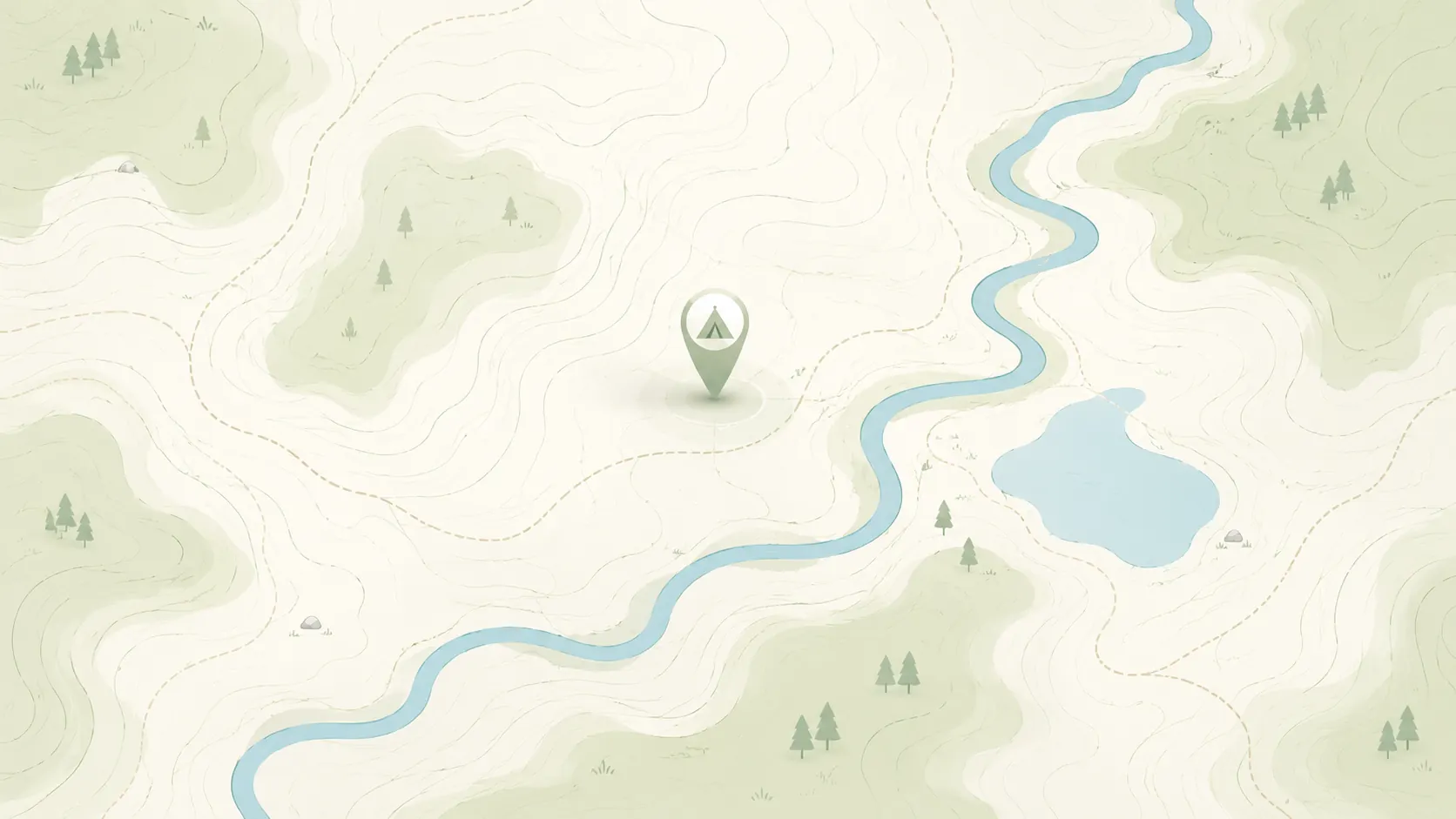
Superior National Forest dispersed camping map
Use the map as a planning aid, then open spot pages for details that are easier to verify.
Review the basics before using a high-demand dispersed camping area.
Start with nearby no-fee camping options on public land.
Focus on no-fee campgrounds with practical access details.
Compare free campsite pages with access notes and source context.
Narrow to RV-friendly overnight options and rig-fit notes.
Open public-land dispersed camping results around your area.
Browse nearby BLM camping with rules and road context.
Look for free RV camping and public-land overnight options.
Find no-hookup camping options for vans and RVs.
Browse dispersed camping and Forest Service rules.
Start with nearby Forest Service camping results.
Focus on free camping options that work better for tents.
Use the public-land checklist before choosing a campsite.
Understand rules, maps, and public-land camping basics.
Check fees, permits, fires, closures, and posted restrictions.
Review the basics before using a high-demand dispersed camping area.
Browse state hubs when you want a cleaner crawl path and more specific public-land options.